Urumea River
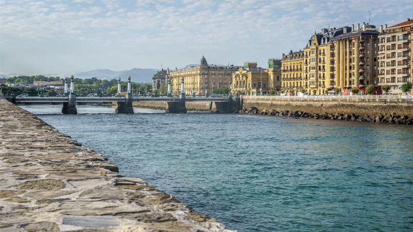
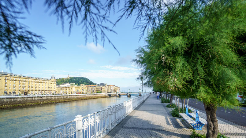
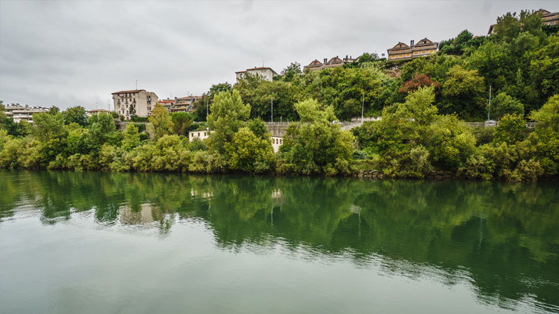
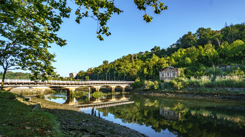
A walk along the river is always lovely! The walk along the banks of the Urumea is flat and easy, the area usually cooled by a gentle breeze; the walk runs alongside stately buildings, and the sound of flowing water accompanies your every step... The banks of the Urumea are a popular walk for many San Sebastián locals and visitors alike.
Interactive map of the route
Select the locations
Distance
Stops
Time
1. The Urumea estuary
Audioguide
The Urumea estuary
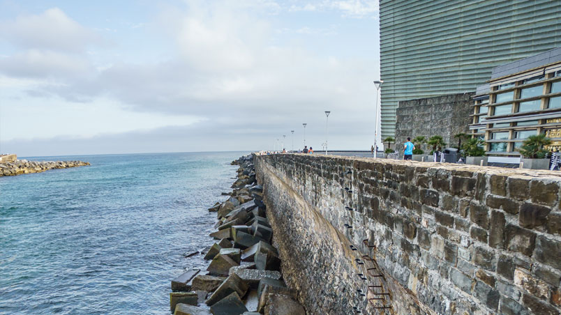
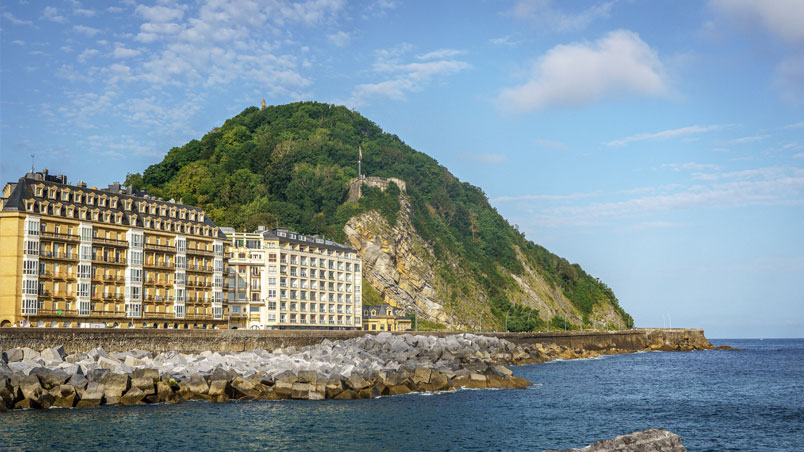
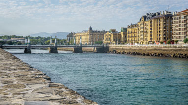
Our walk begins on the esplanade of the Kursaal building, just where the breakwater starts. If you stand facing the sea, on your left you’ll see the River Urumea as it flows into the Cantabrian Sea, with Mount Urgull as the backdrop.
In the past, Urgull was actually another little island in the bay apart from Santa Clara island. La Concha Bay extended from Igeldo to Ulia, and the River Urumea flowed into it, creating a vast area of wetlands (so we’d be standing in the water now!) and both Santa Clara and Urgull were islands in this area. That’s how the bay became separated from the River Urumea, taking on its present shape of a seashell with Santa Clara island in the middle. Today, the original surroundings with the dunes and marshes have completely disappeared under the city as it was built up. The estuary then gradually shifted towards the east due to the formation of a sandy tombolo that joined Urgull with the mainland, creating a peninsula.
On the other side, if you look towards the east you can see Zurriola beach and Mount Ulia in the distance. Mount Ulia is the easternmost of the three mountains forming San Sebastián’s skyline, together with Igeldo and Urgull, and it is also the one with the least anthropic erosion and the greatest natural value. Its proximity to the sea and the sandy-textured soil have a considerable influence on the types of plants that grow on this mountain. There are sea cliffs and small Pyrenean oak groves, although this potential local vegetation has been forced out by the introduction of exotic and ornamental species.
The north face overlooks the sea, where the very special conditions of high salinity, strong ocean winds and siliceous soil only allow very well-adapted species to grow. Because of this, the Ulía cliffs are now protected, forming part of the European Natura 2000 Network as a Special Conservation Area. They are home to some unique plant species that can only be found in this particular environment, along with a large variety of birds that nest on the ledges of the cliffs.
On your right, at the foot of the Ulia mountain, you can see Zurriola beach, which is actually an artificial beach. The natural beach with its dune fields was built over in the first half of the twentieth century.
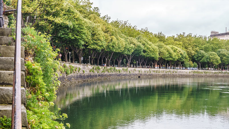
So let’s follow it up the river. Carry on along Ramón María Lili Avenue. As you walk along the banks of the Urumea, take a look at the trees: they’ll probably seem familiar to you.
1 The Urumea estuary
2. Tamarisks in San Sebastián
Audioguide
Tamarisks in San Sebastián
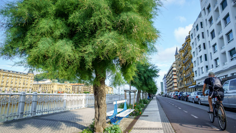
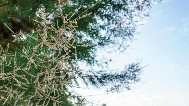
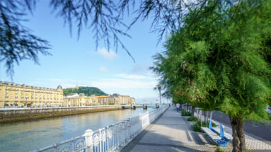
The tamarisk is an autochthonous tree, easy to find growing naturally in sandy areas, on dunes, on sea cliffs and in similar environments on the Basque coast, as it is resistant to the wind and the high salt concentrations.
It was discovered by San Sebastián’s Town Councillor, Agapito Ponsol, when he saw tamarisks growing along the coast on a trip to France at the beginning of the twentieth century. He and Pierre Ducasse, the municipal garden designer at the time and the creator of gardens such as those of Plaza de Gipuzkoa and the Miramar and Aiete Palaces, noticed that this tree with its sturdy trunk was highly resistant to bad weather and salt, so he suggested they could be planted along the Paseo de la Concha.
His proposal went down well in the city, as until that time none of the trees planted had managed to stop the wind and the storms blowing in from the Cantabrian Sea. But what the people of San Sebastián didn’t like was the name, as for the last hundred years they had been calling it a "tamarind", which is actually a tropical tree that has nothing to do with a tamarisk.
2 Tamarisks in San Sebastián
3. The Eagle in Paseo Colón
Audioguide
The Eagle in Paseo Colón
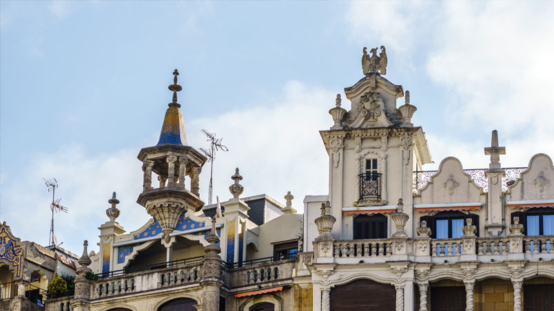
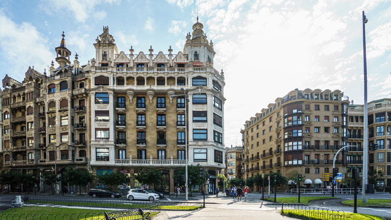
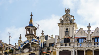
When you reach Santa Catalina bridge, turn away from the river bank and look up to the top of the majestic building that stands on the corner of Paseo Colón and Calle Miracruz. Can you see the two light-coloured stone eagles on the rooftop? They seem to be watching their prey from above, waiting to swoop. The city’s best-known eagle sculpture is the one in Plaza del Centenario, but it isn’t the only one. (You can see that the Gros district has nothing to envy the centre… it has a tamarisk-lined promenade and not just one eagle but two.)
Keep on walking and turn off Paseo Urumea towards the street called Duque de Mandas, going towards the Court building. Right there, where the railway bridge runs overhead, you are standing on the site of some huge underground water tanks.
3 The Eagle in Paseo Colón
4. The storm tanks
Audioguide
The storm tanks
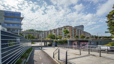
These are the storm tanks: enormous underground tanks built to store the first rainwater that falls, which is also the most polluting as it drags with it all the dust and dirt that has built up in the streets and on the tarmac.
This system means the tanks can stop the wastewater treatment plants from overflowing and having to pour off surplus untreated water.
On days of heavy rainfall, the water is filtered through the sewers, but they hold such a huge volume of water that it can’t be treated straight away. So this water sits in the storm tanks until it stops raining, and it’s then gradually channelled down to the wastewater treatment plants. This not only prevents the rivers from being polluted but also stops any possible flooding and environmental damage.
It’s part of the infrastructure of the municipal sewer system, something we can’t see but which is very important to the workings of the city.
Let’s go back to the river bank now and continue along Paseo Urumea.
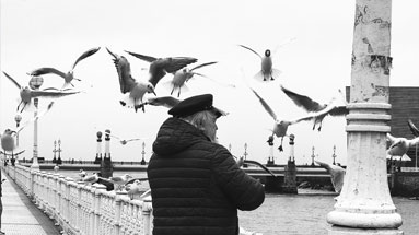
From here, you won’t have to look long before you see some seagulls, flying over the river, bathing together in groups or basking in the sun on the stones if the tide’s out.
4 The storm tanks
5. Seagulls
Audioguide
Seagulls
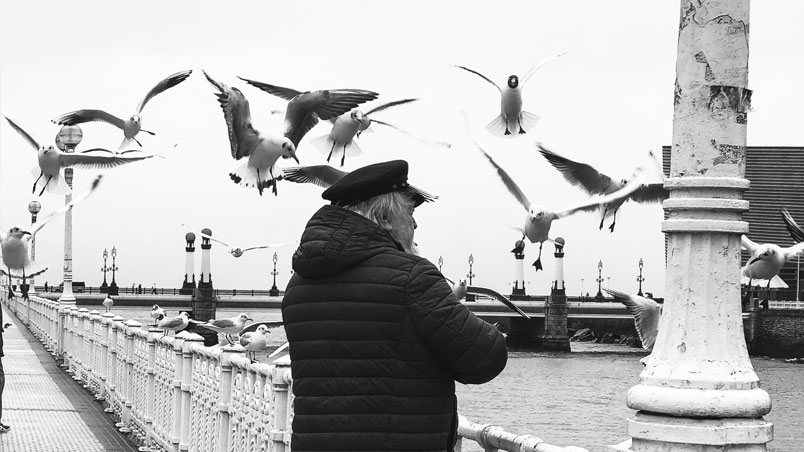
Gulls are the most popular seabirds and they’re the most common and the easiest to observe in ports, along the coast and on the cliffs. They’re scavengers that can get used to almost anything. In recent years they’ve adapted to city life, eating scraps and finding shelter in towns and cities. Gulls are colonial birds and live in large groups, and although their lifestyle might look random and chaotic they’re actually perfectly well organised. They’re raucous and expressive – few groups of creatures make more noise than a flock of seagulls – and they’re very communicative, through both their calls and their gestures.
They also have a great capacity to learn, and decades of scientific studies have shown that they can pick up skills, remember them and even teach them to other gulls. They’re monogamous creatures and mate for life, although the pairs don’t actually live together the whole year round and they only mate in the breeding season.
There are different species of gulls, and so although they may look similar at first sight, they’re actually not the same. Along with a few more exotic species that visit the area occasionally, these are the ones most commonly found around the Urumea River:
- The yellow-legged gull: This is the most common type of gull in San Sebastián. You can spot it by looking out for the yellow legs it gets its name from.
- Black-headed gull: This gull is smaller in size and has a red beak and legs. It develops its dark hood during the breeding season (which is in spring and summer). Over the rest of the year, the adult birds lose the dark colour of the hood, which shrinks to just a small spot beside their eye.
- Black-backed gull: These are very similar to yellow-legged gulls as regards their size and their leg and beak colour, but they have darker feathers on their backs.
5 Seagulls
6. Maria Cristina Bridge: Dragons and horses
Audioguide
Maria Cristina Bridge: Dragons and horses
The Urumea has some surprises in store: not all the creatures living in and around it are real. Let’s go to the Maria Cristina Bridge and discover some that aren’t.
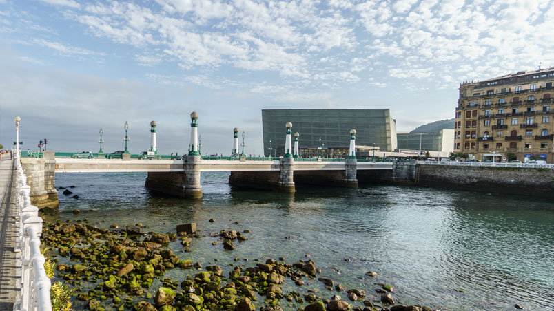
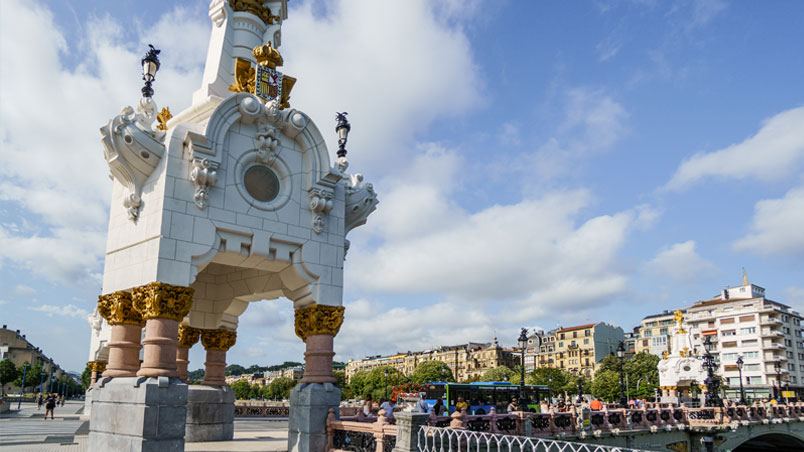
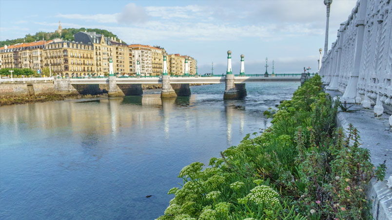
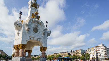
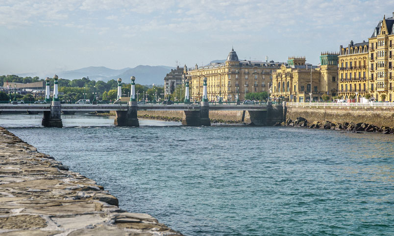
This bridge is considered by many to be the most elegant of all the bridges crossing the Urumea. It was built in 1904 by the engineer José Eugenio de Rivera and the architect Julio Zapata. It has a marked Parisian style, influenced by the Belle Epoque, as is the case for many of the buildings constructed around that time (a large number of them between 1887 and 1929, when the Spanish Queen Maria Cristina spent her summers in San Sebastián). In fact, the design of the entire bridge is inspired on the Pont Alexandre III in Paris.
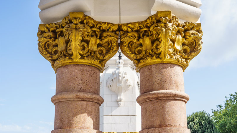
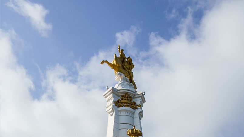
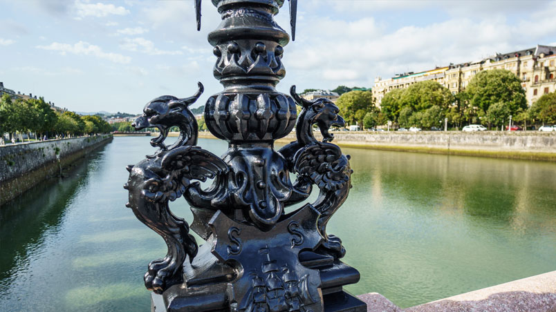
Look up and you’ll see the four obelisks with golden horses on them rearing skywards. The statues are made of cement and painted gold. Apart from the horses, there are also some other magical animals on this emblematic bridge: dragons. So as you cross the bridge you’re being watched by the dragons of ancient legend and fairy tale, which you can see on top of the lampposts or hiding in the handrails.
But these inanimate creatures are not the only curious images we can find on the bridge. Take time to look at the details and you’ll see that the railings and ceramic arches are decorated with mythological sea creatures, serpents, children, ships and a variety of picturesque seafaring and maritime scenes.
6 Maria Cristina Bridge: Dragons and horses
7. Oysters
Audioguide
Oysters
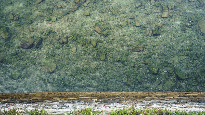
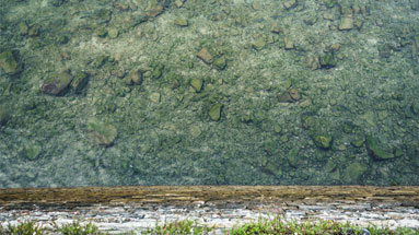
If you leave the station behind you and keep to your right as you cross the bridge, when you almost come to the end of it look out over the railing and you’ll see some little white mounds on the river bed. At first sight they might seem like stones or rubble, but they’re not. They’re oysters! These bivalve molluscs are perfectly adapted to living in intertidal areas, and they feed by filtering the sea water to trap plankton and particles in suspension. They filter it non-stop, and they can do this with up to five litres of water an hour.
Let’s go back to Paseo Urumea now and carry on our walk along the right bank of the river.
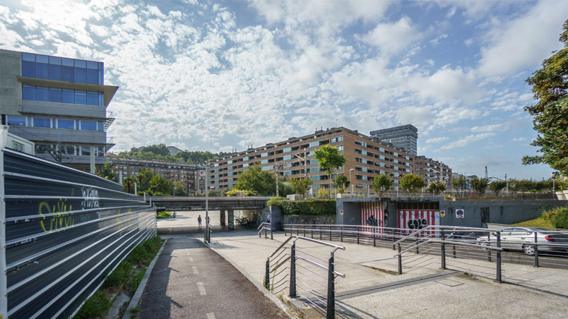
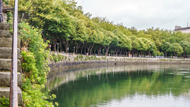
You can clearly see that this last stretch of the river has been turned into a canal, boxed in by stone walls on both sides. If you take a closer look at these retaining walls you’ll see that there’s also plenty of life on them. Some quite unusual plants are growing out of the cracks.
7 Oysters
8. Sea fennel
Audioguide
Sea fennel
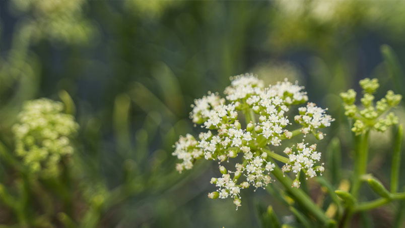
Sea fennel, or Crithmum maritimum, is a plant that’s well-adapted to living in crevices and in walls along the coast. It doesn’t need much water to survive as it stores it in its fleshy stems and leaves, and it grows in shallow, stony soil. You can find it right on the waterfront, exposed to the salty winds and splashed by the waves. It’s called sea fennel because its inflorescences look a lot like ordinary fennel.
In the past, sailors took the leaves of this plant marinated in salt and vinegar on their long voyages, because its high vitamin C content helped prevent scurvy and also for its purifying, digestive and diuretic properties. Its tender leaves are eaten fresh in salads or preserved, and they are also added to pickle juice and brine to give them a special aroma.
8 Sea fennel
9. The Cristina Enea river meander
Audioguide
The Cristina Enea river meander
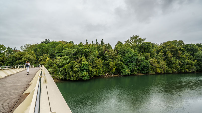
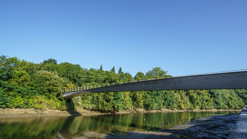
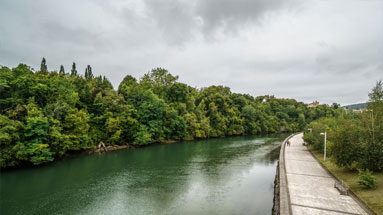
When you reach the Mikel Laboa footbridge linking the Riberas de Loiola district and the Cristina Enea Park, if you look over to the other side of the river you’ll see that the buildings end here and give way to trees and plants. This is the Cristina Enea Park.
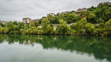
It used to be an estate owned by the Duke and Duchess of Mandas, and it is now an urban park, set on a small hill encircled by the last meander of the River Urumea. The Dukes of Mandas chose this land beside the Urumea that was on the outskirts of the city at the time, firstly purchasing the land of the former Mundaiz estate and then adding farmhouses, orchards and a tide mill beside the river. The aim of their large investment was to have an estate of the perfect size to build a little paradise on earth. They bought more and more land and the design of the estate progressed, according to the fashion of the time and the couple’s own personal taste. Paths, woods, trees and an ornamental pond were the first elements designed and built, before the palace or the service buildings. For this task they hired the best leading architects and landscapers of the day, such as the garden designer Lecour, the Parisian landscaper Georges Aumont or the famous garden designer Pierre Ducasse.
Continuing along this section of the river bank from Cristina Enea to the Quirón Clinic, at low tide the muddy banks of the river are exposed.
9 The Cristina Enea river meander
10. Cormorants and waders
Audioguide
Cormorants and waders
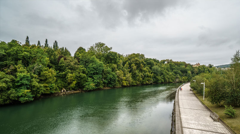
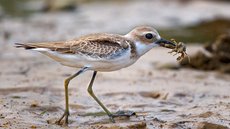
You’ve now reached the lower course of the Urumea, close to its estuary. On this slow-flowing stretch of the river the slope is less pronounced and silt is deposited along the banks. This silt is mainly composed of mud and sand and it provides wader birds with their food supply, as they search for invertebrates under the mud and trap them with their long, thin bills. These birds are usually of a brownish colour for camouflage against the silt, so it can be difficult to spot them at first sight. But if you take a closer look you’ll probably see a few common sandpipers with their striking white chests and characteristic bobbing tails.
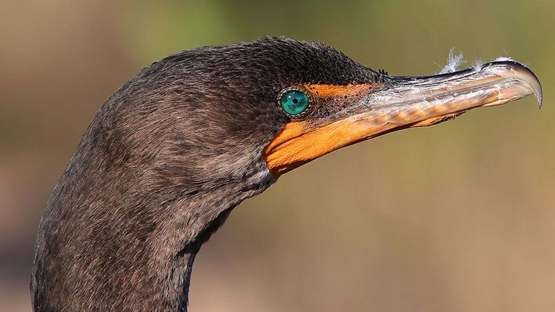
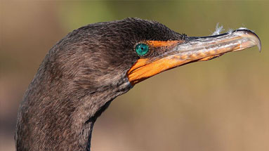
You can also find flocks of turnstones foraging among the pebbles, looking for small invertebrates, or you might see a cormorant with its wings spread, basking in the sun.
Why do they do this? The reason is that cormorants have less oil in their plumage than other birds. It therefore absorbs water and their feathers get wet, rather than repelling water as ducks’ feathers would do, for example. Although this sounds like a disadvantage, it is believed that they actually evolved this feature to be able to dive down to a deeper level and for more efficient underwater hunting.
When a cormorant comes out of the water, the first thing it does it shake its feathers. It then spreads its wings so that its wet plumage will dry quicker.
If it’s your lucky day you might even see a kingfisher dart across the surface of the river like a blue and turquoise arrow.
10 Cormorants and waders
11. The River Urumea
Audioguide
The River Urumea
Its name comes from the words "ur mehea", which means fine waters, referring to their clean, transparent appearance.
Its source is in the Ezkurra mountain pass in the province of Navarra, one of the rainiest places in the Iberian Peninsula. It then flows on through Goizueta, Hernani and Astigarraga and finally reaches the sea in San Sebastián. Its main affluent is the River Añarbe, which originates in the Artikutza estate. The Urumea river basin is generally considered one of the best conserved in the whole of Gipuzkoa province, and two sections of the river are protected areas due to their great ecological value, although from Hernani onwards it flows through a heavily built-up area with less natural value.
Even so, on this walk you will have been able to see the biodiversity and the cultural wealth that accumulates around a river. A healthy urban river is a biodiversity corridor, a place for enjoyment and a source of wellbeing.
So we hope that this route has opened your eyes to the Urumea and you will never turn your back on it again, seeing it through new green glasses!
11 The River Urumea
We propose a self-guided route designed by Cristina Enea Fundazioa, along which you can discover hidden surprises, interesting facts and details that you’ve never noticed before.
Animals and plants that live in our city, imaginary, inert or true survivors.
The Urumea River runs for a further 6 km beyond the Mikel Laboa footbridge through the neighbourhoods of Loiola, Txomin-Enea and Martutene. We invite you to continue walking upstream to learn more about the history, diversity and richness that surround the Urumea!
We hope that after this visit you’ll feel a closer connection to and higher appreciation of the inhabitants and treasures that can be found along your walks.
